Stoneface Trail
1,
Just 5 miles north of Garden of Gods, this scenic trail is moderate, but up and down rocky bluffs. The famous Stone Face is on this trail.
Bell Smith Springs Recreation Area
Eddyville 1,
“Four creeks come together in the canyon at Bell Smith Springs. Cold spring pools, and over 700 plant species make this National Natural Landmark a #1 place to hike.
Cache River State Natural Area
Belknap 1, Belknap
“More than 21 miles of designated foot trails within this unique wetland totaling 12,956 acres. One trail takes visitors to bald cypress trees older than 1,000 years. The Section 8 Woods Boardwalk is handicapped accessible and passes through 10 tree species and a swamp alive with birds, alligator gar, amphibians and reptiles. Also, visit the new Barkhausen Wetlands Center with state of the art exhibits, displays and viewing decks.”
Cave In Rock State Park
Cave in Rock 1, 62919
“Hickory Ridge and Pirates Bluff Nature trail wind along the Ohio riverbank. Also, enjoy the historic Cave, restaurant, and free ferry to cross the river.”
Crab Orchard National Wildlife Refuge
Carbondale 1, 62902
“Noted for spring wildflower hikes along Rocky Bluff Trail and eagle tours in winter. Four other self guided trails available to view diverse habitats which provide food, water and shelter for a variety of wildlife. At the Interpretive Center/Gift Shop obtain maps and information about this 44,000 acre refuge of land and water.”
Devil’s Backbone
Grand Tower 1, 62942
“Challenging trail; the end or beginning of the River to River Trail.”
Dixon Springs State Park
Golconda 1, 62938
“Enjoy a self guided 1.7 mile nature trail, 1 mile trail through Ghost Dance Canyon with 60 ft. high walls and long narrow passageways; also, waterfalls, cliffs and heavy forests. Park features a swimming pool, picnic area and a chocolate factory across the road.
Ferne Clyffe State Park
Goreville 1, 62939
“18 trails from easy 0.25 mile to moderate difficult 2 miles featuring rock formations, waterfalls, shelter bluffs, dense flora and fauna. Park also has picnic/play areas, camping and fishing lake.”
Garden of the Gods Recreational Area
Herod 1,
“This 3,300 acre wilderness ranks 10th in the United States for photographing sandstone rock formations and high vistas. The easiest trail is the 1/4 mile Observation Trail for outstanding views and to see Camel Rock, Anvil Rock and Devil’s Smokestack. Five miles of trails are part of the River to River Trail, and some are difficult.”
High Knob Lookout
Harrisburg 1, 62946
“One of the trailheads for the River to River Trail, this is a great walk to Garden of the Gods. A very high prominence with several picnic sites.”
Iron Furnace Recreation Area
Herod 1,
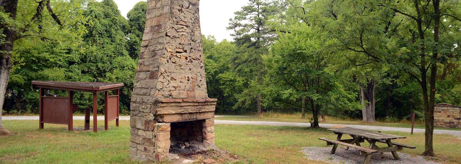
“Big Creek Trail loops through creek bottoms, and large trees for an easy/moderate hike. Several picnic sites and the historic Iron Furnace.”
Lake Glendale
Grantsburg 1, 62943
“Trails plus lake with swimming beach, boating and fishing, stables for horseback riding.”
Lusk Creek Canyon
east Eddyville 1,
“A two mile trail leads to a nature preserve and canyon; 31 species of fish and several rare plants, plus the 80 to 100 foot Indian Kitchen stone walls believed to have been built by late Woodland Period Indians .”
Millstone Bluff
Pope County 1,
“Millstone is an interpretive nature trail of a Mississippian period village. See a cemetery, remains of a village and petroglyphs of a thunder bird, all perched on a high hill surrounded by an 80 foot bluff that pioneers used to carve out millstones.”
Pounds Hollow/Rim Rock Recreation Area
Harrisburg 1,
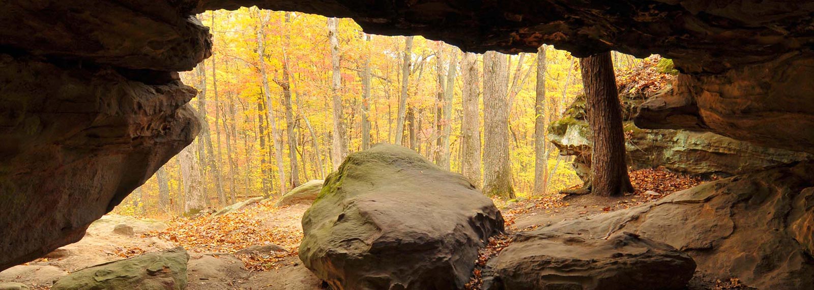
.8 mile long Rim Rock trail meanders past old Indian Wall, Pounds Hollow Lake, Ox-Lot Cave ( a huge rock shelter bluff) and Fat Man’s Misery (a narrow passageway through massive cliffs and huge boulders). Beaver Trail connects Rim Rock with Pounds Hollow and is 1/2 mile long.
River to River Trail
Harrisburg 1, 62946
from Grand Tower on the Mississippi River to Battery Rock on the Ohio River (618-252-6789) This 160 mile trail extends east to west across Southern Illinois, passing through massive rock formations, glorious vistas, wetlands, prairie grass and dense woodlands. The trail is marked with wooden diamonds painted white overlaid with a blue “i,” the symbol of the trail. Your best information/guide is the River to River Trail Guide sold in bookshops, state park offices or through the above number. Terrain varies from moderate to difficult and takes at least fourteen days to hike the entire trail. Several campgrounds, and lodging facilities are close to the trail as well as small villages for supplies and food. Spring and fall weekend hikes
Saline County Fish & Wildlife Area
Equality 1, 62934
Four trails, the Lake, Cave Hill, River & Wildlife Nature, total 7 miles of scenic hiking; also Tecumseh statue, concessionaire, camping, fishing and horse trails are here.
Tower Rock
Jackson County 1,
Scenic hike to the highest bluff, 160 feet, on the Ohio River, located midway between the historic river towns of Elizabethtown and Cave-in-Rock.
Tunnel Hill Trail
Vienna 1, 62995
(bicycling & hiking, no motors, hunting or horses) 45 miles long from Harrisburg to Karnak, 1% grade, 99% wooded, formerly the Norfolk Southern Railroad. Six trail heads for parking; the landmark Tunnel is 543 ft. long, & 21 picturesque trestles are further south. Surface is crushed limestone


